Interview: Dr. Nusret Demir, Associate Professor of Space Sciences and Technologies at Akdeniz University
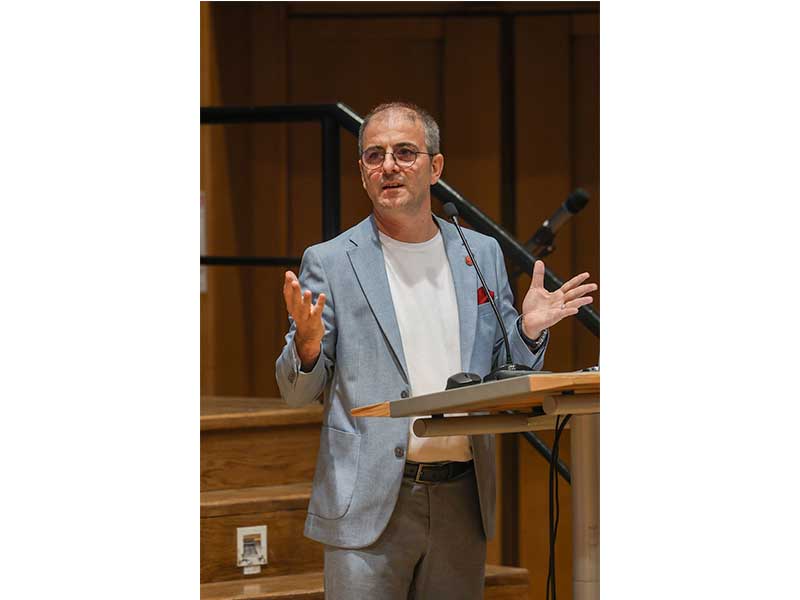
Dr. Nusret Demir is an Associate Professor of Space Sciences and Technologies at Akdeniz University, and was actively involved in the COP31 Simulation Programme. This international initiative is organized by the British University in Egypt and the United Nations Development Programme (UNDP Egypt). He holds Geomatics and Industrial Engineering degrees from Yildiz Technical University, and a PhD in Geomatics Engineering from ETH Zurich.
The program aimed to train the next generation of climate negotiators and leaders in preparation for the United Nations Climate Change Conference (COP31), which Türkiye is hosting in Antalya for the first time on November 9–20, 2026, with Australia presiding over the negotiations.
Dr. Demir serves on the Academic Advisory Board as part of the Akdeniz Climate Change and Policies Research Group, contributing to academic planning and university preparation for COP31. He is also a member of the COP31 Culture Group to support the activities related to culture.
During the pre-COP31 two-week online simulation sessions, he delivered expert lectures focusing on how satellite and remote-sensing technologies enhance disaster monitoring, emergency response, and overall climate resilience.
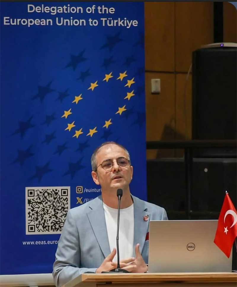
Alongside leaders from UNDP Egypt and the League of Arab States, Dr. Demir delivered opening remarks to kick off the Capacity Building phase for hundreds of students participating from around the world.
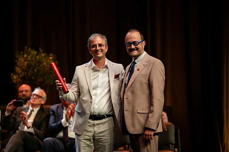
His remote-sensing expertise—which recently earned his collaborative mapping initiative a prestigious 2026 European Heritage Award / Europa Nostra Award (Citizen Engagement & Awareness category)—and his climate change research projects show the potential of satellite technology in vulnerability tracking and risk modeling within the COP31 framework.
1. Tell us your journey to become an Associate Professor of Space Sciences and Technologies at Akdeniz University.
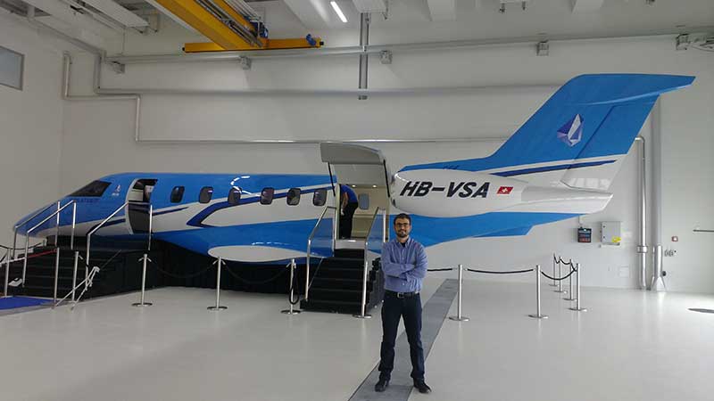
I have completed two bachelor degrees, Geodetic and Photogrammetrical Engineering and also industrial engineering from Yildiz Technical University in Istanbul. After finishing my PhD in Geomatics Engineering at ETH Zurich, I worked in Switzerland at Pilatus Aircraft, a wonderful environment with great colleagues. I had been living away from my family since the age of 13, and I wanted to contribute to my home country. So we decided to return to Türkiye, where I founded my company, ETEN Research and Development Ltd, now operating at Antalya Technopark. Two years later, I joined Akdeniz University's Department of Space Sciences and Technologies as an Assistant Professor, and I became an Associate Professor in 2020. Today I try to combine academic research, teaching, and applied work through ETEN, so that our methods actually reach end users.
2. Did you have any role models?
My father. He was a truck driver who worked long hours in very difficult conditions so that my brother and I could have a good education. We were always his first priority. His sacrifice paid off: today my younger brother, two years my junior, is a Professor of Neurology. I lost my father in October 2012, when he was only 62, just before my PhD defense. His work ethic is still my reference point.
3. Does Türkiye have a satellite manufacturing industry?
Yes, and it is growing fast. TUSAŞ (Turkish Aerospace) built GÖKTÜRK-2 together with TÜBİTAK UZAY and is now developing GÖKTÜRK-3, a SAR satellite with an ASELSAN radar payload. TÜBİTAK UZAY developed RASAT and İMECE, Türkiye's first sub-metre electro-optical satellite with domestic design. TÜRKSAT 6A was our first domestically built communications satellite. On the private side, companies such as Fergani Space and Plan-S are building small satellites and constellations. The next step is turning this hardware capacity into a strong downstream data and services sector, which is where universities and SMEs come in.
4. How are remote-sensing and reconnaissance satellites (like RASAT, GÖKTÜRK-1/2/3, and the İMECE electro-optical satellites) utilized in disaster monitoring, emergency response, and overall climate resilience?
RASAT, launched in 2011, was Türkiye's first indigenous Earth observation satellite. With GÖKTÜRK-2 and İMECE we now have high-resolution optical imagery under national control, which matters most in the first hours after a disaster. After the February 2023 earthquakes, for example, satellite imagery supported damage mapping across very large areas. Optical satellites have one limitation: they cannot see through clouds or at night. That is why GÖKTÜRK-3, a radar (SAR) satellite, will be an important addition. In my own work, I combine national data with international missions such as Copernicus Sentinel-1 and Sentinel-2, for example, to measure ground deformation with InSAR or to assess damage to buildings and cultural heritage.
5. This year, for the first time, the Zero Waste policy of Emine Erdogan’s Sifur Atik Foundation is included in the COP31 Agenda. Recent satellite surveillance has revealed that Turkiye hosts some of the world's worst landfill methane leaks. Tell us more about this finding and which landfills are involved.
Landfills are one of the largest human sources of methane, a gas with roughly 80 times the warming power of CO₂ over 20 years. Satellites have changed this field. Sentinel-5P/TROPOMI tracks methane globally, and high-resolution instruments such as GHGSat, NASA's EMIT, and Carbon Mapper can pinpoint individual plumes at facility level. I would be cautious about naming specific sites without verified, peer-reviewed data. What I can say is that satellite monitoring is the ideal accountability tool for the Zero Waste policy: it lets us verify whether landfill gas capture and waste diversion actually reduce emissions over time. InSAR can also monitor landfill stability. We studied this at a solid-waste facility in Alanya, where slope deformation can create safety risks.
6. Turkey frequently faces intense, prolonged droughts that threaten both its agriculture and municipal water supplies. Are sensing satellites used in detecting Severe Drought and Groundwater Depletion? If so how?
Yes, and this is a core part of my research. The GRACE and GRACE-FO satellites measure tiny changes in Earth's gravity field, which show how total water storage, including groundwater, changes over large basins. Radar interferometry (InSAR) from Sentinel-1 measures land subsidence at millimetre precision. In Central Anatolia, the Konya Closed Basin, Menderes-Aydın, Akarçay and similar regions, this subsidence is a direct fingerprint of groundwater over-extraction. Combined with evapotranspiration estimates from optical and thermal data, these tools help authorities see where water is being used beyond sustainable limits.
7. Rising temperatures and heatwaves have lengthened the wildfire season in Turkiye’s Mediterranean and Aegean regions. How are sensing satellites used to evaluate, track, and map the rapid post-fire destruction of forests from space?
I recently led an international Project collaborating with Dr.Atticus Stovall from NASA on exactly this topic [Investigating the Effects of Forest Fire Risk on the Biodiversity of Endangered Forest Wildlife]. Satellites such as Sentinel-2, Landsat, and MODIS/VIIRS let us map burn severity with indices like dNBR, detect active fires in near real time, and follow vegetation recovery for years afterwards. Radar adds information through smoke and clouds. In our project, we went one step further and linked burned-area maps with biodiversity. We looked at how fires such as Manavgat 2021 affected wildlife habitats, and we produced fire susceptibility maps for the Aegean and Mediterranean regions.
8. Turkiye is urbanizing with great speed. How do satellites monitor rapid urbanization and its interactions with changing climate dynamics, such as greenhouse gas tracing
Satellites show how cities grow: built-up area from Sentinel-2 and Landsat, building heights from radar and LiDAR, and urban heat islands from thermal sensors. Sentinel-5P measures NO₂, a good proxy for traffic and combustion, and new missions such as Copernicus CO2M will measure CO₂ from cities directly. With InSAR we also monitor building and infrastructure stability. For example, we analyse ground deformation building by building, which links climate adaptation with earthquake risk.
9. Rising sea levels combined with human activity are reshaping Turkey's economically vital coastlines. How are satellites used in coastal erosion/ change tracking?
Long Landsat and Sentinel archives let us extract shorelines over decades and measure erosion or accretion rates. Satellite altimetry measures sea-level rise. InSAR shows land subsidence in deltas such as Göksu and Büyük Menderes, where sinking land and rising seas together raise the local relative sea level. Coastal archaeological sites are part of this risk too, and they are irreplaceable.
10. What are your COP31 programs and collaborations?
I serve on the Academic Advisory Board through the Akdeniz Climate Change and Policies Research Group, contributing to the university’s academic planning for COP31, and I am a member of the COP31 Culture Group. Through the academic cooperation protocol between Akdeniz University and The British University in Egypt, I take part in the COP31 Simulation Programme, run by BUE together with UNDP Egypt. There, I delivered the opening remarks of the Capacity Building phase and gave lectures on satellite technologies for disaster and climate resilience.
During COP31 in Antalya, two panels I proposed have been accepted for the YÖK (Council of Higher Education) Pavilion. The first, “How Is Climate Change Affecting Livestock and Urban Comfort, and How Do Satellites Monitor It?”, brings together our CliResDairy climate risk assessment for dairy farming in Aydın, carried out under the EU Horizon Europe CLIMAAX project, and Antalya’s urban heat island assessment. The second, “Climate Change, Youth and the Future: A Mediterranean Perspective”, is organised with our Egyptian partners at BUE and connects the northern and southern shores of the Mediterranean on youth and climate governance.
I will also speak at two sessions at the Antalya Metropolitan Municipality hub in the Green Zone. On 16 November, I join the panel “Digital Climate Intelligence in the COP31 Vision: GIS and Remote Sensing”, and on 17 November, the roundtable “From Wildfire Response to Resilience: Protecting Mediterranean Ecosystems and Communities”. In addition, I advise the municipality’s CLIMAAX-MUHIR project, whose roundtable “From Science to Action: Mapping Antalya’s Climate Risks” will be held during the conference.
11. For the first time, the Turkish COP31 Presidency has officially made addressing the carbon footprint of Artificial Intelligence (AI) and global electrification a core pillar of its climate policy agenda. With orbital data centers becoming a reality do you have any thoughts on this matter.
AI is both part of the problem and part of the solution. Training and running large models need a great deal of electricity and water for cooling, so we must measure and report this footprint transparently. In my field, AI makes it possible to process petabytes of satellite data for climate monitoring. Orbital data centres are an interesting idea, with continuous solar power and natural cooling, but launch emissions, space debris, and maintenance are open questions, so we need full life-cycle assessments before calling them green. A practical step available today is processing data close to where it is produced, even onboard satellites, so that only useful information is sent down.
12. Anything else you would like to add.
Thank you for the invitation. In the AI era, I believe communication and trust will be the most important drivers of business and cooperation. My advice to students and young professionals is to stay human: develop soft skills, read literature, and engage with art. Staying human also means caring for our cultural and natural heritage. Earning money matters, but what matters most is overall satisfaction. Some jobs pay more but take all your energy. Real wealth is how you feel.
13. How can people reach you?
LinkedIn is the best way to reach me. You can also email me at nusret.demir@eten.com.tr or nusretdemir@akdeniz.edu.tr .
Glossary Terms:
Selva Ozelli Esq, CPA is a legal and finance executive with diversified experience dealing with highly complex issues in the field of international taxation and related matters within the banking, securities, Fintech, alternative and traditional investment funds. Her first of its kind legal analyses involving tax laws, Foreign Corrupt Practices Act (FCPA), blockchain technology, solar technology and the environment and have been published in journals, books and by the OECD. Her writings have been translated into 15 languages.